select language: DE-AT
DE-BE
DE-CH
DE-DE
EN-AU
EN-CA
EN-GB
EN-IN
EN-NZ
EN-US
ES-AR
ES-ES
ES-MX
FR-BE
FR-CA
FR-FR
IT-IT
JA-JP
NL-BE
NL-NL
PT-BR
ZH-CN
DE-AT
DE-BE
DE-CH
DE-DE
ES-ES
FR-BE
FR-FR
IT-IT
NL-BE
NL-NL
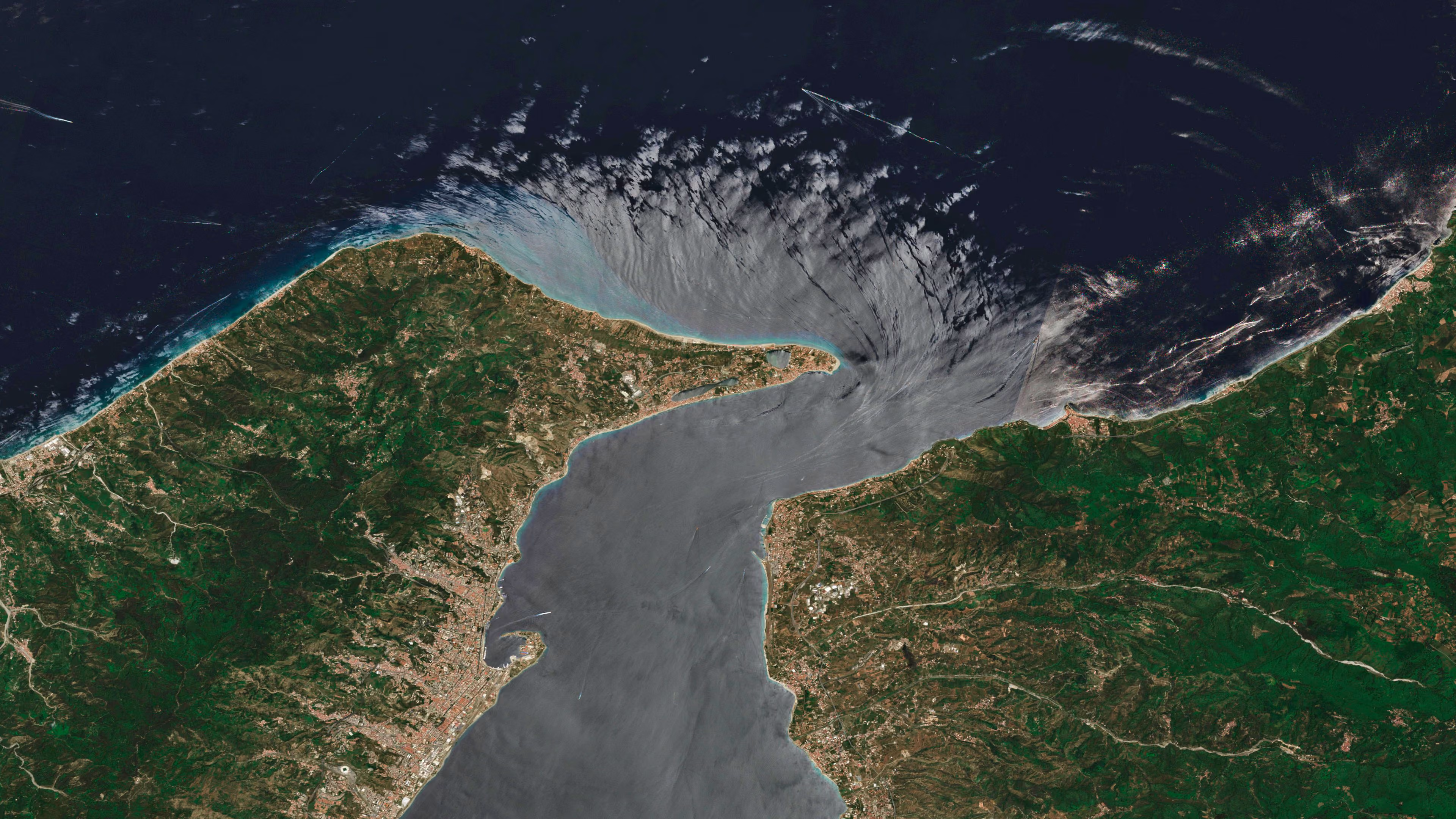
Strait of Messina, Italy
The strait story
This overview of Italy's busy Strait of Messina is one of countless finely detailed images available in the Microsoft Planetary Computer. This vast, cloud-powered database lets scientists see a whole timeline of crisp satellite captures and environmental data for any location in the world. By analysing this data, scientists can explore better ways to manage land and water resources, combat climate change and prepare for natural disasters. Here at Messina, for example, an observer could trace the strait's strong tidal currents over time to note their effects on the coastal ecosystem, or track patterns in the various boat routes crisscrossing the bridgeless waterway.
The strait story
This overview of Italy's busy Strait of Messina is one of countless finely detailed images available in the Microsoft Planetary Computer. This vast, cloud-powered database lets scientists see a whole timeline of crisp satellite captures and environmental data for any location in the world. By analysing this data, scientists can explore better ways to manage land and water resources, combat climate change and prepare for natural disasters. Here at Messina, for example, an observer could trace the strait's strong tidal currents over time to note their effects on the coastal ecosystem, or track patterns in the various boat routes crisscrossing the bridgeless waterway.
© Sentinel-2 / Copernicus Sentinel Data 2025 2026-09-11 08:45:52 :